
Local Nature Recovery Strategies (LNRS) are the government’s spatial strategies for nature. From late 2024 LNRSs must be in place across England. They must be evidenced-based, mapping the best locations to create, enhance and restore nature. LNRSs must identify and bring together a partnership group to align multiple nature-based projects and initiatives (the Nature Recovery Network). The collaborative approach will provide a means for consistent communication of local priorities, and efficient use of time and resources to ensure actions are completed.
Throughout 2020 and 2021 five LNRS pilots were run. The lessons learned have helped to shape the direction of LNRS design since then.
This blog offers an opportunity for all involved partners (Government, Landowners, businesses, local communities and conservation groups) to hear from experienced LNRS project leaders, as well as data providers, on their progress regarding spatial mapping. It features the following presentations (and associated links):
- Cumbria Local Nature Recovery Strategy: Challenges and Opportunities with Megan Lindeman (Westmorland and Furness Council)
- The London Local Nature Recovery Strategy: The Journey So Far with Francis Castro (Greater London Authority)
- Supporting and Designing an LNRS using BiodiversityView with Chris Burnett (Map Impact)
- Panel discussion facilitated by Dr Dan Carpenter (Digital Ecology)
Cumbria Local Nature Recovery Strategy: Challenges and Opportunities
Megan Lindeman (Westmorland and Furness Council)
Cumbria is one of five areas that were selected to pilot the development of a Local Nature Recovery Strategy (LNRS) in 2021. Megan will reflect on the lessons learnt from the pilot scheme and how Cumbria is building on the work that has already been done in the development of the current Cumbria LNRS. Cumbria is a large and ecologically diverse county; ranging from the highest peak in England to the coast, Cumbria’s habitats vary from montane to lowland wetland, coastal and estuarine to blanket bog, woodland to the productive grasslands of the Eden Valley. The presentation will discuss the challenges and opportunities posed by developing an LNRS across such a large, predominantly rural, and ecologically diverse county.
Megan Lindeman is the Technical Support Officer for the Cumbria LNRS and works for Westmorland and Furness Council which are the appointed Responsible Authority for Cumbria. She has over 10 years of experience working in ecological consultancy, specialising in the production and delivery of habitat management plans for a range of projects including renewables, infrastructure, housing, and conservation schemes. She specialises in project management and strategy development, with a particular specialism in upland habitat management and peatland restoration.
- Cumbria Local Nature Recovery Strategy: https://cumbrialnrs.org.uk/
- Cumbria Local Nature Recovery Strategy – Pilot Scheme: https://legacy.westmorlandandfurness.gov.uk/planning-environment/lnrs/default.asp
- Online maps from the Cumbria LNRS pilot scheme: https://www.cbdc.org.uk/about-us/projects/clnrn_story_map/
- LNRS policy paper: https://www.gov.uk/government/publications/local-nature-recovery-strategies/local-nature-recovery-strategies
- LNRS UK Parliament Post : https://post.parliament.uk/research-briefings/post-pn-0652/
The London Local Nature Recovery Strategy: The Journey So Far
Francis Castro (Greater London Authority)
The LNRS for London is not about starting from scratch. It is about understanding the good work that is being carried out across London and empowering those (new and old) who want to continue this rich tradition of action for nature! With 33 local authorities (each a unitary council and a huge number of organisations and community groups passionate about the climate crisis facing us, This presentation will discuss what approach the GLA will take in making this process actually useful!
Francis Castro is an Ecologist and Local Authority Officer with over 18 years of experience. Key projects include successful application to the National Lottery Heritage Fund for the Restoration of Hainault Forest. He is a veteran of conservation and environmental regulation in London and now works as a Biodiversity specialist at the Greater London Authority, overseeing the production of the London LNRS.
- London Environment Strategy https://www.london.gov.uk/sites/default/files/london_environment_strategy_0.pdf
- London Plan 2021: https://www.london.gov.uk/programmes-strategies/planning/london-plan/the-london-plan-2021-table-contents
- Green Space information for Greater London : https://www.gigl.org.uk/
- Urban Nature Network : https://www.futureparks.org.uk/urban-nature-networks
- SUSTAIN Capital Growth Project: https://www.capitalgrowth.org/
- London National Park City Foundation: https://nationalparkcity.london/
- GiGL online portal: https://www.gigl.org.uk/discoverlondon/
- Natural History Museum Urban Nature Project: https://www.nhm.ac.uk/about-us/urban-nature-project.html
- Wild Green and Free Rewild Campaign: https://www.london.gov.uk/greenspaces
- GLA Biodiversity Page: https://www.london.gov.uk/programmes-strategies/environment-and-climate-change/parks-green-spaces-and-biodiversity/biodiversity
- GLA Green Space Funding: https://www.london.gov.uk/programmes-strategies/environment-and-climate-change/parks-green-spaces-and-biodiversity/green-space-funding
- All London Green Grid: https://www.london.gov.uk/programmes-and-strategies/environment-and-climate-change/environment-publications/all-london-green-grid
- London Climate Resilience Review: https://www.london.gov.uk/programmes-strategies/environment-and-climate-change/climate-change/climate-adaptation/london-climate-resilience-review
- London Wildlife Trust (Keeping it Wild): https://www.wildlondon.org.uk/keeping-it-wild
Supporting and Designing an LNRS using BiodiversityView
Chris Burnett (Map Impact)
Map Impact has launched our England-wide BiodiversityView dataset that aligns with the Defra Biodiversity Metric Calculator. This presentation will talk about how the data is created, structured and delivered, and how it can support the objectives of a Local Nature Recovery Strategy by being an independent, objective, and large-scale tool that crosses boundaries, to aid in delivering the baseline strategies, and monitor their effectiveness over time.
Chris Burnett has more than twenty years of experience in the geospatial and Earth Observation sector, managing projects globally, and building products to support environmental applications.
- h3 hexagon system: https://h3geo.org/
- UKHab: https://ukhab.org/
- Greystones Farm: https://www.gloucestershirewildlifetrust.co.uk/nature-reserves/greystones-farm
- Local nature recovery strategy statutory guidance, DEFRA: https://assets.publishing.service.gov.uk/media/6421a4bdfe97a8001379ecf1/Local_nature_recovery_strategy_statutory_guidance.pdf
- Local Nature Recovery Strategy pilots: lessons learned: https://www.gov.uk/government/publications/local-nature-recovery-strategy-pilots-lessons-learned/local-nature-recovery-strategy-pilots-lessons-learned
- Future homes hub process overview: https://www.futurehomes.org.uk/biodiversity-net-gain-mapping-out-the-process
- Sentinel-2 imagery: https://sentinels.copernicus.eu/web/sentinel/missions/sentinel-2
- BiodiversityView summary: https://www.mapimpact.io/product/biodiversityview/
- BiodiversityView for LNRS and Local Authorities: https://www.mapimpact.io/product/biodiversityview/for-local-authorities/
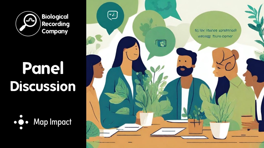
Panel Discussion
Hosted by Dr Dan Carpenter (Digital Ecology)
- What do you think is key to a successful Local Nature Recovery Strategy?
Megan: The key thing is that it is used and delivered. For this to happen it needs to be realistic and people need to be engaged with it.
Francis: Integration with existing systems and policies is vital. It can’t work as a stand-alone document. We will also need big money to make this work – it absolutely needs to be funded and we need to be unapologetic about stating this.
Chris: From a data perspective, it is important that we have data that is repeatable and that can be used to measure success. - How do you work with neighbouring authorities?
Megan: There is a wider northwest responsible authority group that meets and shares learning and progress. We also have informal catch-up calls with one another to keep up to date with each other’s progress. There are strategies underpinning our LNRS that cross boundaries and these should help us align with neighbouring LNRS areas. For example, the North Pennines National Landscape Recovery Plan will inform both the Cumbria and Northumberland LNRS.
Francis: There is a real appetite for people to work together as we’re all working towards the same goal. We meet up with our neighbouring authorities and we also have a landscape that crosses borders, such as river catchments. - How do you ensure that people living within the area are able to input into the LNRS?
Francis: There are 9 million people living in London so we need to be realistic about the scale at which we can engage people. Within London, each of the 33 unitary councils/London Boroughs will have their own process for engaging with residents. We will provide guidance and tools to help with that process but also feed into existing pan-London partnerships, that already work with communities, enabling us to engage at a really local level rather than asking broad questions to a cross-London audience.
Megan: We have 3 people (2 FTE) in the core Responsible Authority LNRS team. As individuals, the number of people and organisations we can engage with is limited, but we can use representatives for existing networks and groups to reach a wider audience. It’s also important that we engage different stakeholders at the right time in the process, and we have an engagement plan to help us do this. - How reliable are the datasets behind habitat maps and how will we know how much things have changed over time?
Chris: We use a combination of satellite datasets and well-maintained datasets (including the Priority Habitat layer from Natural England). As we work through the data, we do find anomalies and we fix these to reduce the impact of these (such as something that looks like a high distinctiveness habitat within an urban area). It is important that these datasets are ground-truthed where possible to check how reliable the satellite data is and to update the data regularly so that changes in condition are picked up. - What is the one thing that you hope will be achieved through the development of your LNRS?
Megan: There is lots of really good work already going on in Cumbria. I would like to see the Cumbria LNRS provide a strategic overview and help to join up these actions to deliver maximum benefit.
Francis: A community who are passionate and working together to protect nature and demanding the investment needed to deliver nature recovery on the ground.
Chris: Ensuring that nature is preserved and around for all of us to enjoy regularly.
Questions About BiodiversityView
- Are there any plans to expand Biodiversity View to include marine environments?
Map Impact: BiodiversityView for marine environments is a future product development that we are considering (in particular to align with incoming marine legislation). We would welcome collaborative conversations with other organisations regarding development and implementation of an expanded product.
- How are you dealing with the uncertainties in Living England?
Map Impact: We are aware that there are uncertainties within the current Living England data and we have engaged with the Natural England team to provide feedback. Within Map Impact, we have performed a range of corrections and enhancements on the data, such as re-classification of wetland habitats in certain locations.
- Is there an aim to increase resolution over time?
Map Impact: We are exploring provision of a more granular resolution product within certain use cases (e.g. urban environments).
- Will BiodiversityView be available for academic use?
Map Impact: BiodiversityView is not yet available with a specific academic use license. We would encourage anyone who is interested in academic use to contact us at info@mapimpact.io, to discuss their requirements.
- How can BiodiversityView improve on the NVC survey and condition assessment datasets for priority habitats that are already held for some regions?
Map Impact: BiodiversityView provides a consistent approach to mapping habitats and condition across all of England (not just priority habitats). It can therefore complement data already available by providing a complete picture of the status of biodiversity.
- Does BiodiversityView focus on tree cover and greenness when using satellite imagery to assess habitat condition?
Map Impact: We are using a range of satellite indices to assess habitat condition, with greenness being one of the indicators considered. Alongside greenness we are considering factors such as soil moisture. A further explanation is provided in the Can Satellite Imagery Data Be Used For Biodiversity Net Gain? article.
Event Partners
This webinar will be delivered by the Biological Recording Company in partnership with Map Impact.
More for environmental professionals

6 thoughts on “Local Nature Recovery Strategies: Update and Challenges”